

Geodetic services for complex sites
We deliver engineering surveys and project support across Kazakhstan.
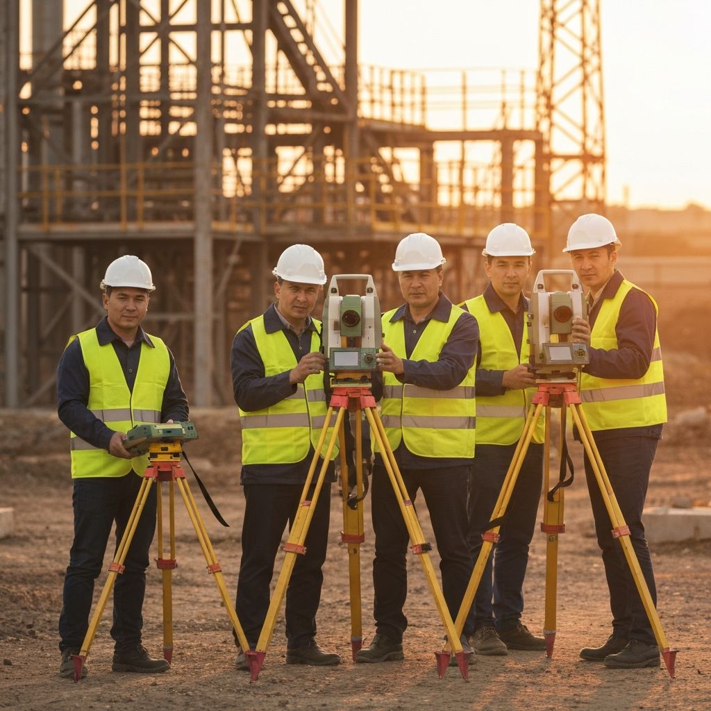
Professional team focused on engineering quality
We support end-to-end projects from field work to final technical documentation.
We choose the right method for each task, keep deadlines, and maintain transparent communication.
Engineering solutions for industry challenges
A full range of work from primary measurements to final reports and as-built documentation.

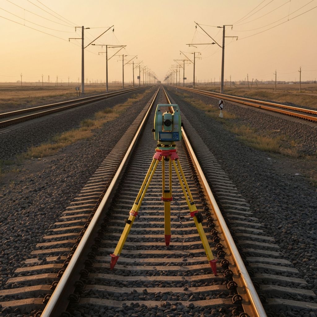
Geodesy and mine surveying
A precise geodetic project baseline with a complete and auditable as-built package.
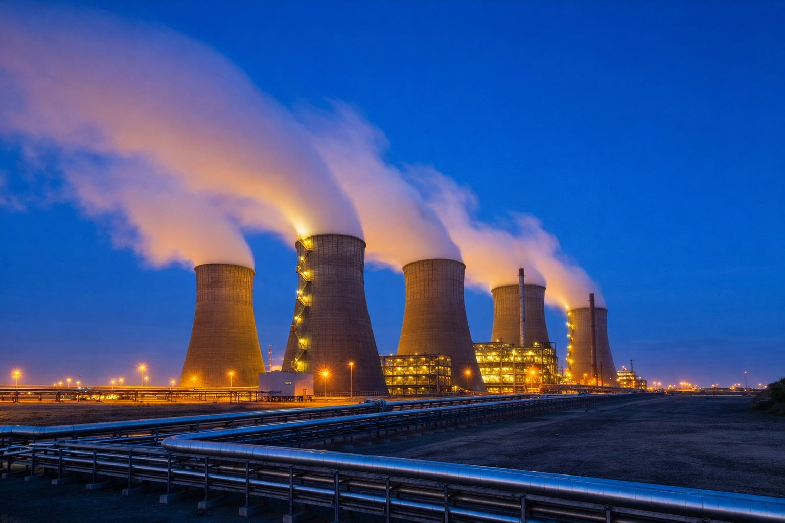
Sectors where we apply our expertise


Tools that produce measurable results
We use modern equipment and digital workflows for reliable control.
UAV aerial survey
We quickly produce orthophotos and terrain models for analysis and planning.
Operating in key regions of Kazakhstan
We perform field and office work where projects require reliable engineering support.
Operating Across Kazakhstan
We deliver geodetic and engineering services in all regions of Kazakhstan for industry, construction, energy, railway, and infrastructure projects.
Cities and regions: Astana, Almaty, Shymkent, Aktau, Atyrau, Aktobe, Oral, Kostanay, Kokshetau, Petropavl, Pavlodar, Semey, Oskemen, Taldykorgan, Taraz, Turkistan, Kyzylorda, Karaganda, Zhezkazgan, Konaev and other cities of Kazakhstan.
Core services: Geodesy, topographic survey, mine surveying, engineering surveys, power line and utility survey, 3D scanning, UAV aerial survey, railway technical passports, and construction support.
Trusted by leading companies
Licenses and permits
Лицензия геодезия и геология
Лицензия ТОО Саян-ЭКО Проект
Request a commercial proposal
Fill out the form — we will prepare a detailed estimate of costs, timelines, and scope for your site. Average response time is 2 business hours.
Tender package
Download the full document package in one click:
- Licenses and certificates
- Company details
- Company profile card
- Company presentation
- Quality policy